 |
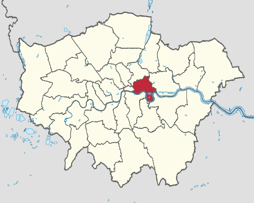
| Source: https://en.wikipedia.org/wiki/ London_Borough_of_Tower_Hamlets |
"This new release is the latest phase of TheGenealogist’s extensive ongoing project to digitize over 94,500 Field Books, each having hundreds of pages, and linking them to large scale IR121 annotated OS maps which are now viewable in TheGenealogist’s powerful Map Explorer tool.
The records, sourced from The National Archives, were originally compiled by the Valuation Office in a period that stretched from 1910-1915 in response to Lloyd George’s government passing the People’s Budget 1909/1910.
This new release covers records made of property ownership and occupation in Bethnal Green East, Bethnal Green North, Bethnal Green South, Bethnal Green West, Bow, Bromley, Christchurch, Limehouse, Mile End Centre, Mile End East, Mile End New Town, Mile End North, Mile End South West, Norton Folgate, Old Artillery Ground, Poplar North, Poplar South, Ratcliff, Saint Botolph without Aldgate, Saint George in the East, Shadwell, Wapping and Whitechapel."
Read Nick Thorne's article for more on finding your London ancestors in these records.


No comments:
Post a Comment